Mississippi Dept. of Archives & History
Historical Markers
Since 1949 the State Historical Marker program has identified and interpreted historic sites across Mississippi. The familiar silver and green tablets stand in practically every city and town in the state, commemorating significant people, events, or movements.
For more information about Mississippi's Historical Marker program, see: http://mdah.state.ms.us/hpres/histmarker.php
For more information about Mississippi's Historical Marker program, see: http://mdah.state.ms.us/hpres/histmarker.php
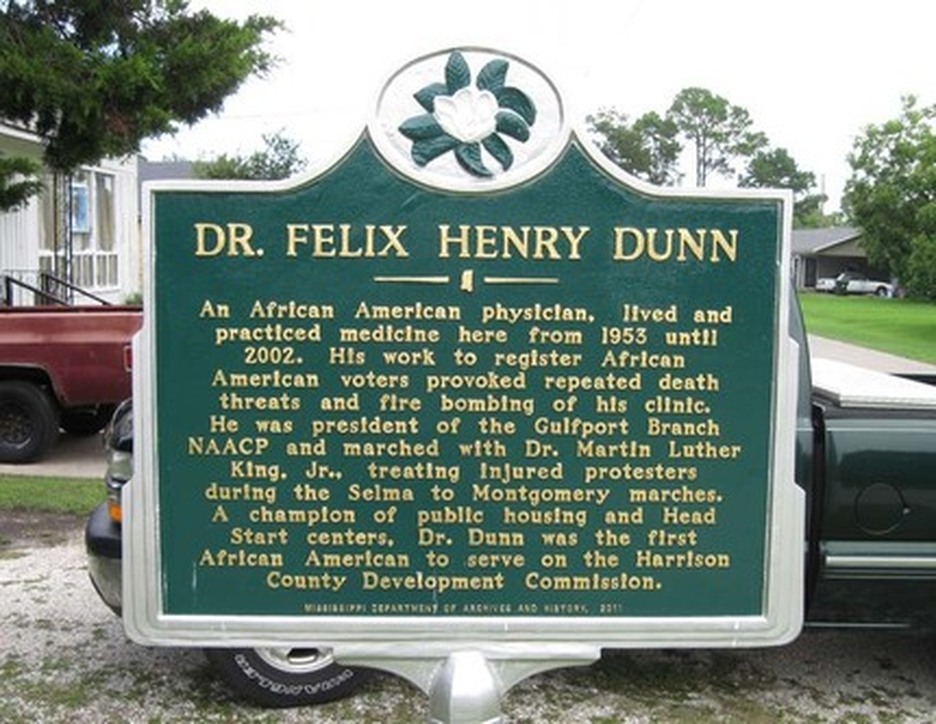
This marker is located near Dr. Dunn's office on 38th Avenue.
The text of the marker:
DR. FELIX HENRY DUNN
An African American physician, lived and practiced medicine here fron 1953 until 2002. His work to register African American voters provoked repeated death threats and fire bombing of his clinic. He was president of the Gulfport Branch NAACP and marched with Dr. Martin Luther King, Jr., treating injured protestors during the Selma to Montgomery marches. A champion of public housing and Head Start centers, Dr. Dunn was the first African American to serve on the Harrison County Development Commission.
Photo courtesy of Joe and Sarah Casey.
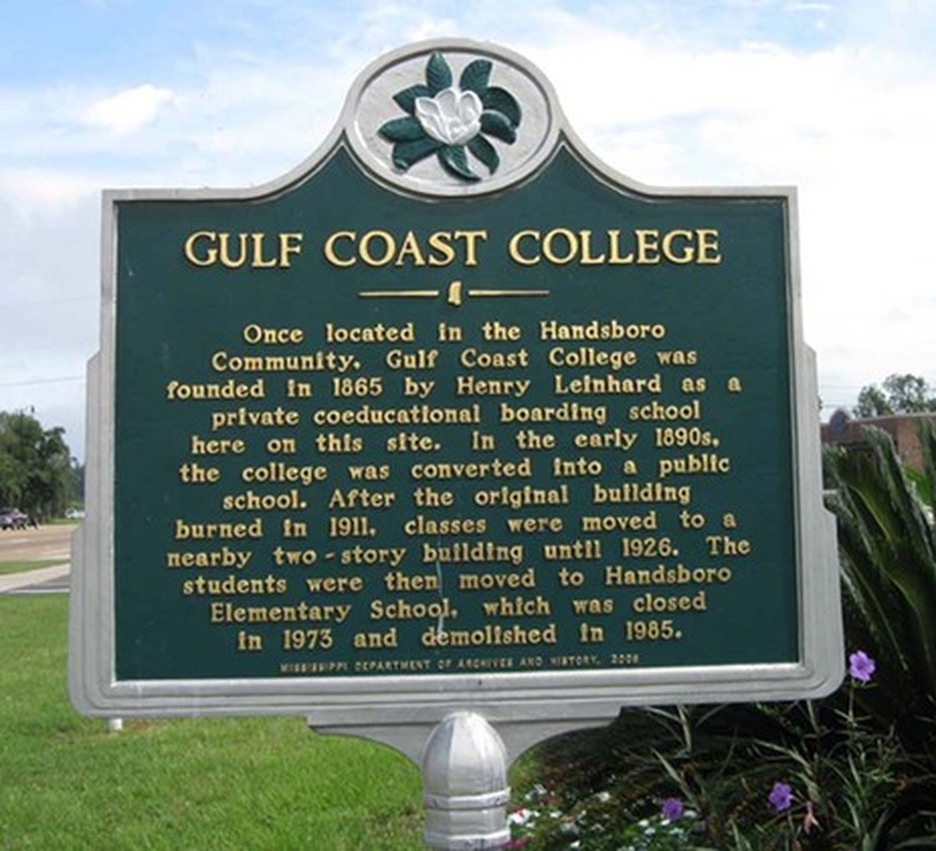
Located on Cowan-Lorraine Road, north of Pass Road in front of Hancock Bank.
The text of the marker:
"GULF COAST COLLEGE
Once located in the Handsboro Community, Gulf Coast College was founded in 1865 by Henry Leinhard as a private coeducational boarding school here on t his site. In the early 1890's the college was converted into a public school. After the original building burned in 1911, classes were moved to a nearby two-story building until 1926. The students were then moved to Handsboro Elementary School, which was closed in 1973 and demolished in 1985."
Photo courtesy of Joe and Sarah Casey.
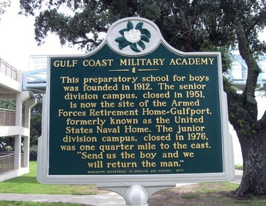
The marker is located at 1800 Beach Drive,
at the entrance to the Armed Forces Retirement Home.
The text of the marker:
GULF COAST MILITARY ACADEMY
This preparatory school for boys was founded in 1912. The senior division campus, closed in 1951, is now the site of the Armed Forces Retirement Home-Gulfport, formerly known as the United States Naval Home. The junior division campus, closed in 1976, was one quarter mile to the east. 'Send us the boy and we will return the man.'
Photo courtesy of Joe and Sarah Casey.
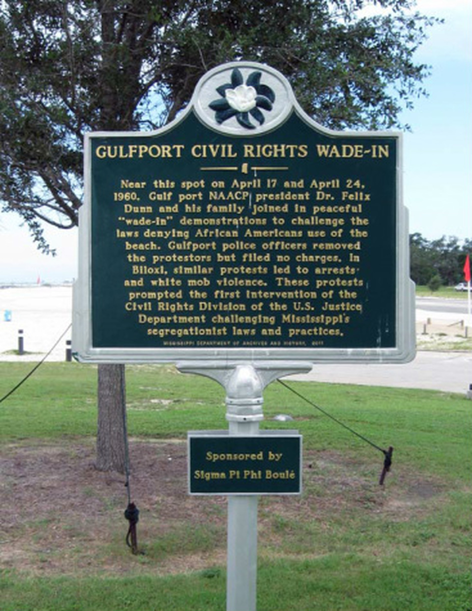
The marker, which was located on Beach Boulevard (U. S. Highway 90)
across from the Island View Casino, has been removed for repair.
The text of the marker:
"GULFPORT CIVIL RIGHTS WADE-IN
Near this spot on April 17 and April 24, 1960, Gulfport NAACP president Dr. Felix Dunn and his family joined in a peaceful "wade-in" demonstration to challenge the laws denying African-Americans use of the beach. Gulfport police officers removed the "wade-in" demonstrators but filed no charges. In Biloxi, similar "wade-in" demonstrations led to arrests and white mob violence. These protests prompted the first intervention of the Civil Rights Division of the U. S. Justice Department challenging Mississippi's segregation laws and practices."
Photo courtesy of Joe and Sarah Casey.
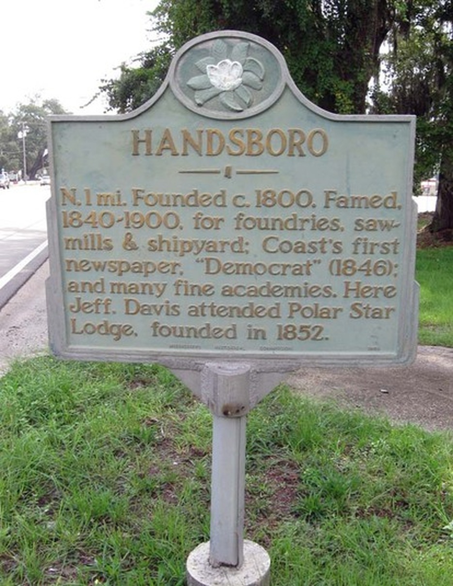
This Handsboro Community Marker is located on Pass Road in Gulfport,
in front of the Masonic Lodge.
The text of the marker:
"HANDSBORO
N. 1 mi. Founded c 1800. Famed, 1840-1900, for foundries, sawmills & shipyards; Coast's first newspaper, "Democrat" (1846); and many fine academies. Here Jeff. Davis attended Polar Star Lodge. founded in 1852."
Photo courtesy of Joe and Sarah Casey.
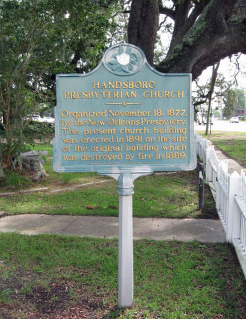
This marker is located at 1304 Pass Road in Gulfport in front of the Handsboro Presbyterian Church.
The text of the marker:
"HANDSBORO PRESBYTERIAN CHURCH
Organized November 18, 1877 by the New Orleans Presbytery. The present church building was erected in 1981 on the site of the original building which was destroyed by fire in 1889."
Photo courtesy of Joe and Sarah Casey
The text of the marker:
"HANDSBORO PRESBYTERIAN CHURCH
Organized November 18, 1877 by the New Orleans Presbytery. The present church building was erected in 1981 on the site of the original building which was destroyed by fire in 1889."
Photo courtesy of Joe and Sarah Casey
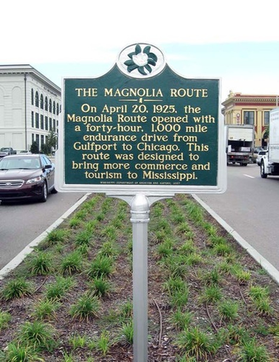
This marker is located in the neutral ground on 13th Street
at the western side of the junction with 25th Avenue (U. S. Highway 49).
The text of the marker:
"THE MAGNOLIA ROUTE
On April 20, 1925, the Magnolia Route opened with a forty-hour, 1,000 mile endurance drive from Gulfport to Chicago. This route was designed to bring more commerce and tourism to Mississippi."
Photo courtesy of Joe and Sarah Casey.
This marker was sponsored by Joe and Sarah Casey from proceeds of the book, "The Magnolia Route 1923-1927," and by donations from the Antique Auto and Engine Club of Mississippi.
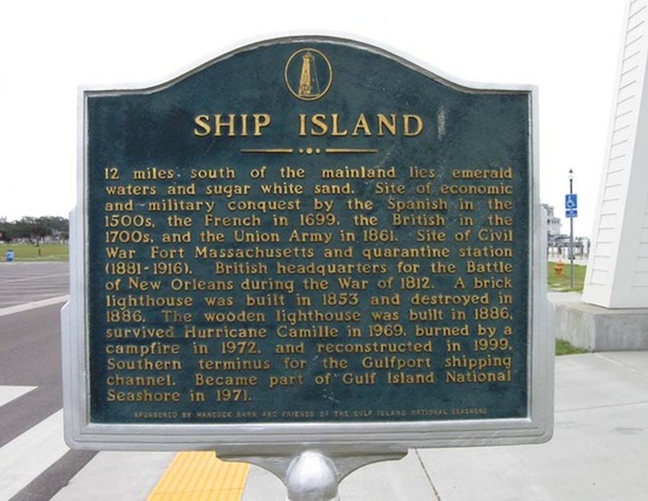
This marker is located near the lighthouse in Jones Park on Beach Boulevard (U. S. Highway 90).
The text of the marker:
"SHIP ISLAND
12 miles south of the mainland lies emerald waters and sugar white sand. Site of economic and military conquest by the Spanish in the 1500's and the French in 1699, the British in the 1700's, and the Union Army in 1861. Site of Civil War Fort Massachusetts and quarantine station (1880-1916). British headquarters for the Battle of New Orleans during the War of 1812. A brick lighthouse was built in 1853 and destroyed in 1886. The wooden lighthouse was built in 1886, survived Hurricane Camille in 1969, burned by a campfire in 1972, and reconstructed in 1999. Southern terminus for the Gulfport shiping channel. Became part of Gulf National Seashore in 1971."
Photo courtesy of Joe and Sarah Casey
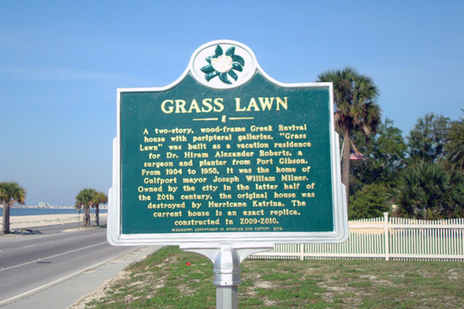
The text of the marker:
"Grass Lawn
A two-story , wood-frame Greek Revival house with peripteral galleries, "Grass Lawn" was built as a vacation residence for Dr. Hiram Alexander Roberts, a surgeon and planter from Port Gibson. From 1904 to 1950, it was the home of Gulfport mayor Joseph William Milner. Owned by the city in the latter half of the 20th Century, the original house was destroyed by Hurricane Katrina. The current house is an exact replica, constructed in 2009-2010."
Mississippi Department of Archives and History 2012
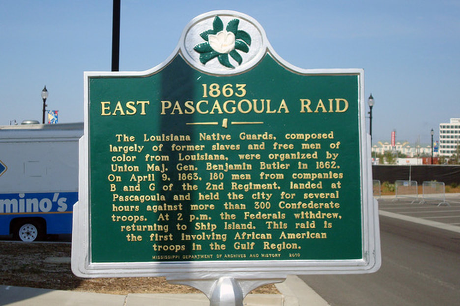
The text of the marker:
"1863 EAST PASCAGOULA RAID
The Louisiana Native Guards, composed largely of former slaves and free men of color from Louisiana, were organized by Union Maj. Gen. Benjamin Butler in 1862. On April 9, 1863, 180 men from companies B and G of the 2nd Regiment, landed at Pascagoula and held the city for several hours against more than 300 Confederate troops. At 2 p.m. the Federals withdrew, returning to Ship Island. This raid is the first involving African American troops in the Gulf Region."
Mississippi Department of Archives and History 2010
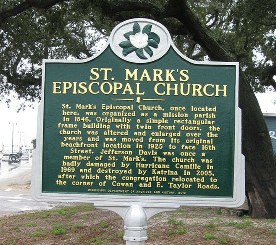
123 Church Street
The text of the marker:
"St. Mark's Episcopal Church
St. Mark's Episcopal Church, once located here, was organized as a mission parish in 1846. Originally a simple rectangular frame building with twin front doors. The church was altered and enlarged over the years and was moved from its original beachfront location in 1925 to face 16th Street. Jefferson Davis was once a member of St. Mark's. The church was badly damaged by Hurricane Camille in 1969 and destroyed by Katrina in 2005, after which the congregation relocated to the corner of Cowan and E. Taylor Roads."
Mississippi Department of Archives and History 2013
Five historical markers were lost in Hurricane Katrina in August, 2005:
If everything goes as planned, these markers should be replaced by the end of 2012, and will be added to our website when they are in place.
Jefferson Davis Speech Site, at the corner of 16th Street and Courthouse Road.
Funds are needed to replace two markers which were lost in Katrina:
1. Mississippi City, at the corner of U. S. Highway 90 and Tegarden Road.
2. Sullivan-Ryan Fight, 109 East Beach Boulevard.

